
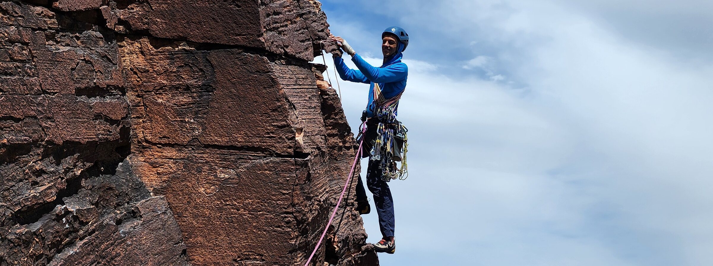
Your climb. Measured vertically.
Ibex tracks your climb in real time — live audio readouts and rope-end alerts on the wall — then automatically builds a complete record of climbing, rappelling, elevation and activity.
Built for vertical terrain.
Most location apps were designed around horizontal travel — pace, distance, route maps on flat ground. Ibex is built around the vertical movement that actually matters while climbing: elevation gained, pitches completed, and time spent moving versus resting on the wall.
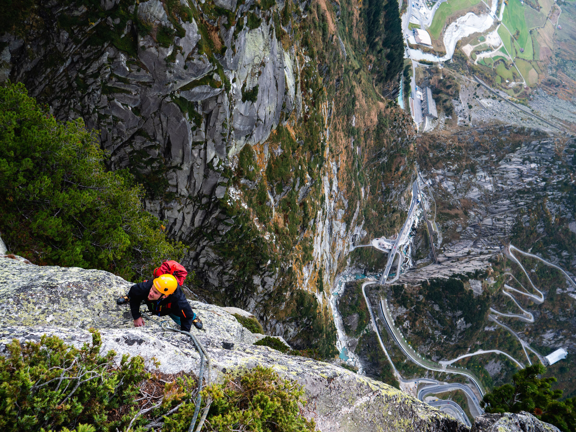
Three things Ibex does on every climb.
No manual logging mid-pitch. Ibex runs in the background, gives you live readouts on the wall, and builds the record for you.
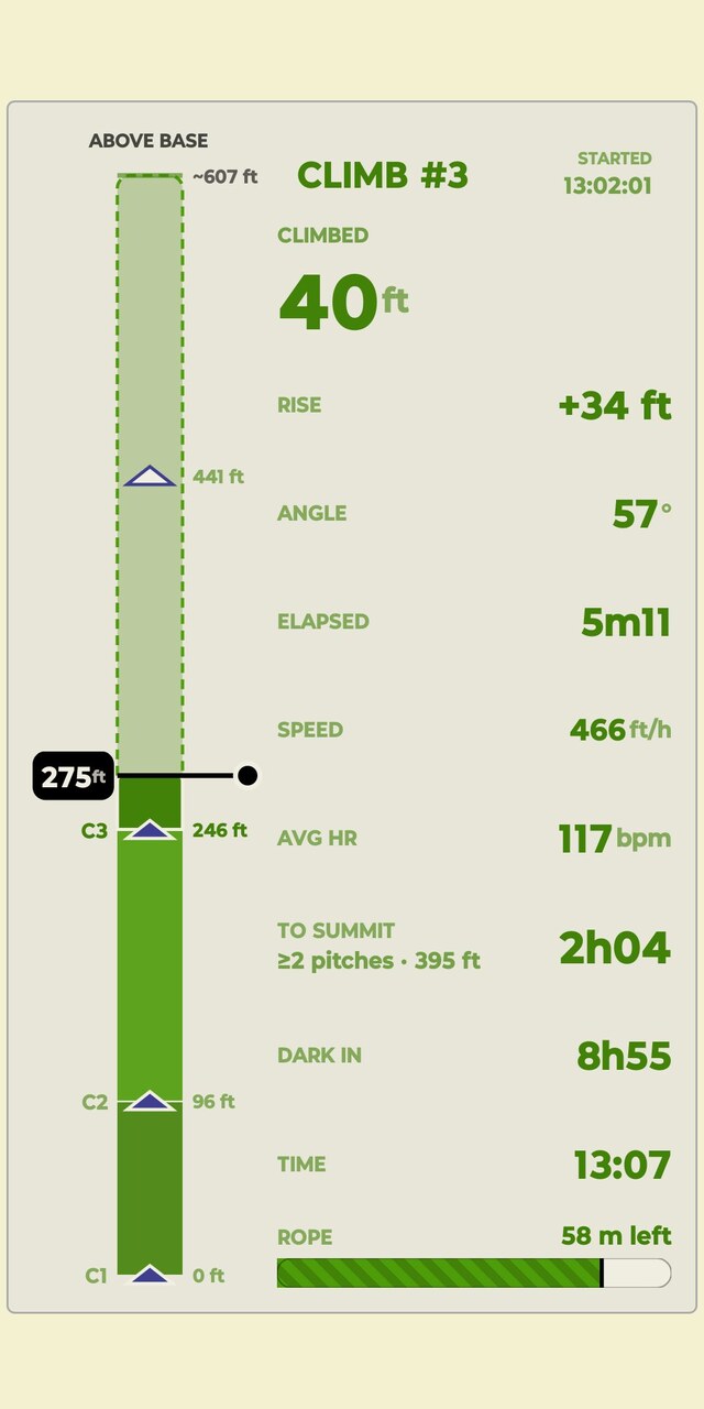
Track while you climb
Ibex records current pitch distance, elevation and vertical progress as you move — with live audio readouts and rope-end alerts — so you always know where you are on the route without checking your phone.
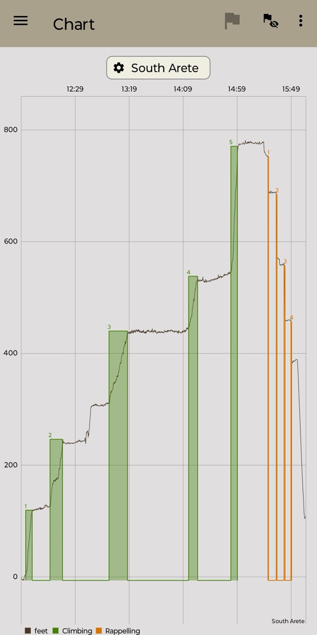
Ibex understands what you're doing
Ibex uses your phone sensors to identify climbing, rappelling and rest periods automatically, reducing manual logging throughout the day.
Ibex puts your whole day together
Review the full picture after you're back on the ground — climbing activity, route, elevation, time and photos, organized into your climbing journal.
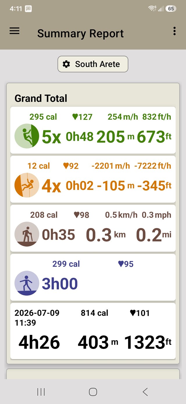
Every angle of your climbing day.
Beyond the activity record, Ibex breaks down the route, your pace and how hard the day actually was on your body.
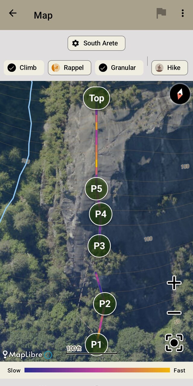
Route Map
Your path up the wall, colored by speed, pitch by pitch.
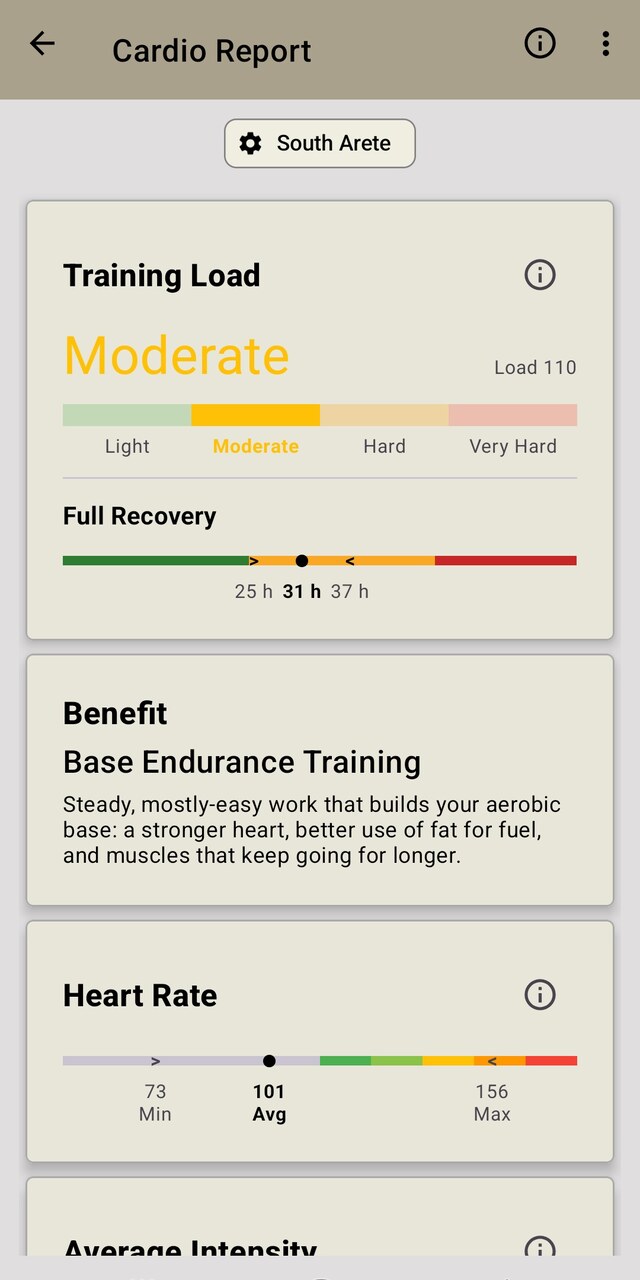
Cardio Report
Training load, recovery and heart rate for every session, from a paired monitor or Health Connect.
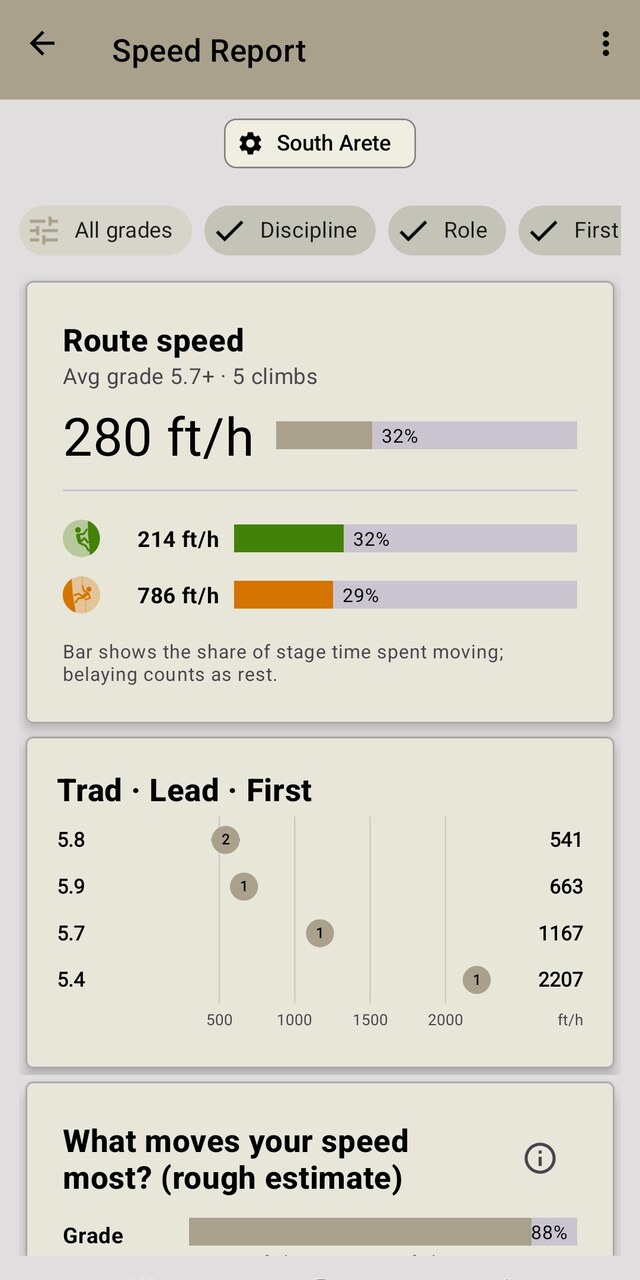
Speed Report
Compare pace by grade, discipline and style.
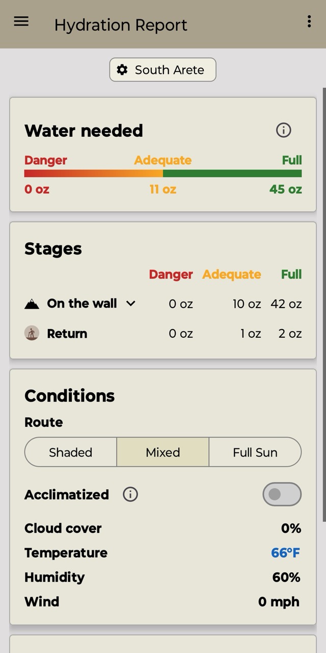
Hydration Report
What the day actually cost you.
Every climb becomes part of your story.
Ibex turns each recorded activity into an entry in your climbing journal — searchable, shareable, comparable and yours to keep.
Vertical
See how much you climbed and descended.
Time
Understand climbing, rappel and rest periods.
History
Build a record of routes and climbing days over time.
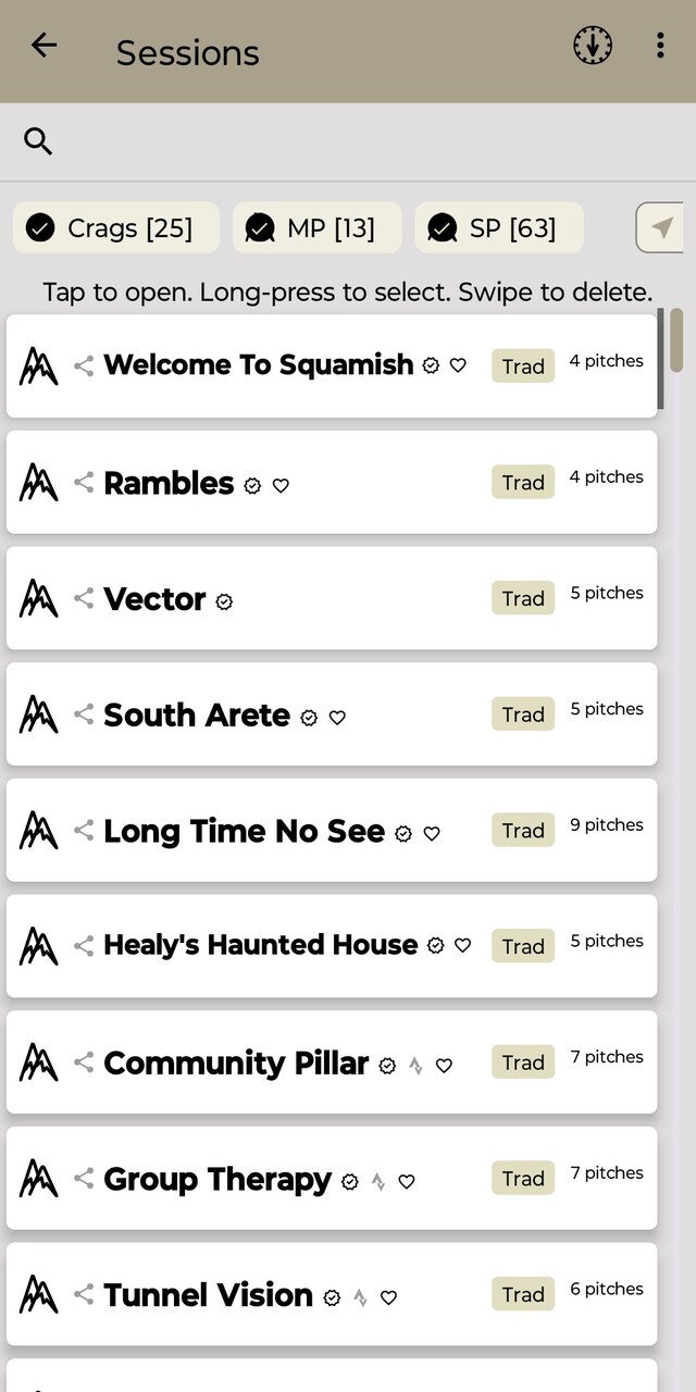
From scouting the route to recording the climb.
Explore with Topo360
Walk through the route pitch-by-pitch using immersive 360° route information.
Record with Ibex
Track climbing, elevation, pitches and rappel activity as you go.
Keep the climb
Review your activity and build a record of the day in your climbing journal.
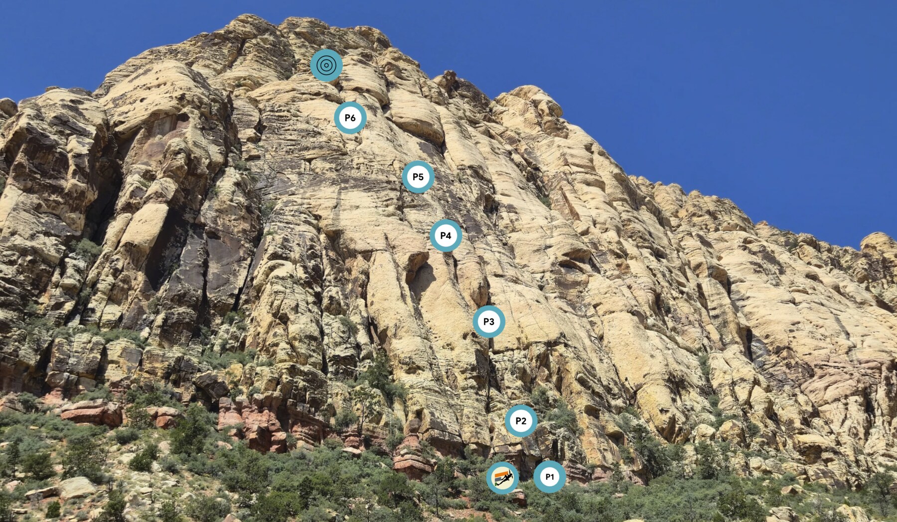
Tunnel Vision
223 m · 6 pitches · 5.7+ YDS Trad — Red Rock Canyon, NV. Preview every pitch in 360° before you leave the ground.
View 360° Route →Record it with Ibex
Track pitch distance, elevation and rappels while you climb Tunnel Vision, then keep the activity in your journal.
Get Ibex →Take Ibex on your next climb.
Start recording, climb, and let Ibex build the activity record. Free on Google Play.

Frequently asked questions.
What does Ibex actually record?
Ibex automatically records every stage of your day on the wall — approach, climb, rappel and return — including pitch distance, vertical progress, moving time and rest periods, then organizes everything into a climbing journal entry.
Is Ibex a guidebook or route-finder app?
No. Ibex doesn’t tell you where to climb — it’s the during-and-after part of the experience, recording what actually happened once you’re on the route.
How does Ibex know I’m climbing versus rappelling or resting?
Ibex uses your phone sensors to identify climbing, rappelling and rest periods automatically, reducing manual logging throughout the day. Activity detection is a convenience feature, not a guarantee — always confirm your own state on the wall.
Is Ibex available on iOS?
Ibex is currently available on Android. An iOS version is under consideration but not yet in active development.
Does Ibex help with hydration and heat planning?
Yes — Ibex includes a built-in Session Planner that estimates water and electrolyte needs, sweat rate and heat risk for a planned session, right in the app. The same calculator is also available standalone at hydrate.ibex.fit if you want to plan before you install.
What does Ibex integrate with?
Ibex pairs with Bluetooth heart-rate monitors and Health Connect for real biometric data instead of estimates, and can upload completed climbs to Strava. Ibex can also look up official route names for a climb via OpenBeta.